Complete Panama Guide
Panama sits on a strip of land just 80 km wide at its narrowest point, and this confined geography makes it a dense destination: in two weeks, you move from the turquoise cays of Guna Yala to the cloud forests of Boquete, crossing the central Cordillera and the Miraflores locks. From our office in the capital, we see travelers every month amazed by the diversity of this small country of 4 million inhabitants.
Four regions structure a coherent journey. Panama City blends the colonial district of Casco Viejo (17th century) with a skyline of towers reminiscent of Miami. To the west, the highlands of Chiriquí offer Barú volcano (3,475 m), the coffee plantations of Boquete, and cool nights at 18°C. On the Caribbean coast, the Bocas del Toro archipelago and the autonomous comarca of Guna Yala (San Blas) present two very different atmospheres: surf and beachside bars on one side, Guna huts on sand islets on the other. Finally, the Azuero peninsula preserves rural Hispanic traditions and the Las Tablas festivals.
Two specificities merit shaping your itinerary: wildlife (over 970 bird species recorded, including the resident quetzal in Boquete) and the living indigenous culture of the Ngäbe-Buglé, Emberá, and Guna comarcas. Allow 12 to 15 days to combine two regions, 18 days to cover three without rushing.
The regions of Panama
Each region has its own personality: climate, landscapes, pace of life and ways of traveling. Our local team helps you choose the combination that suits you.
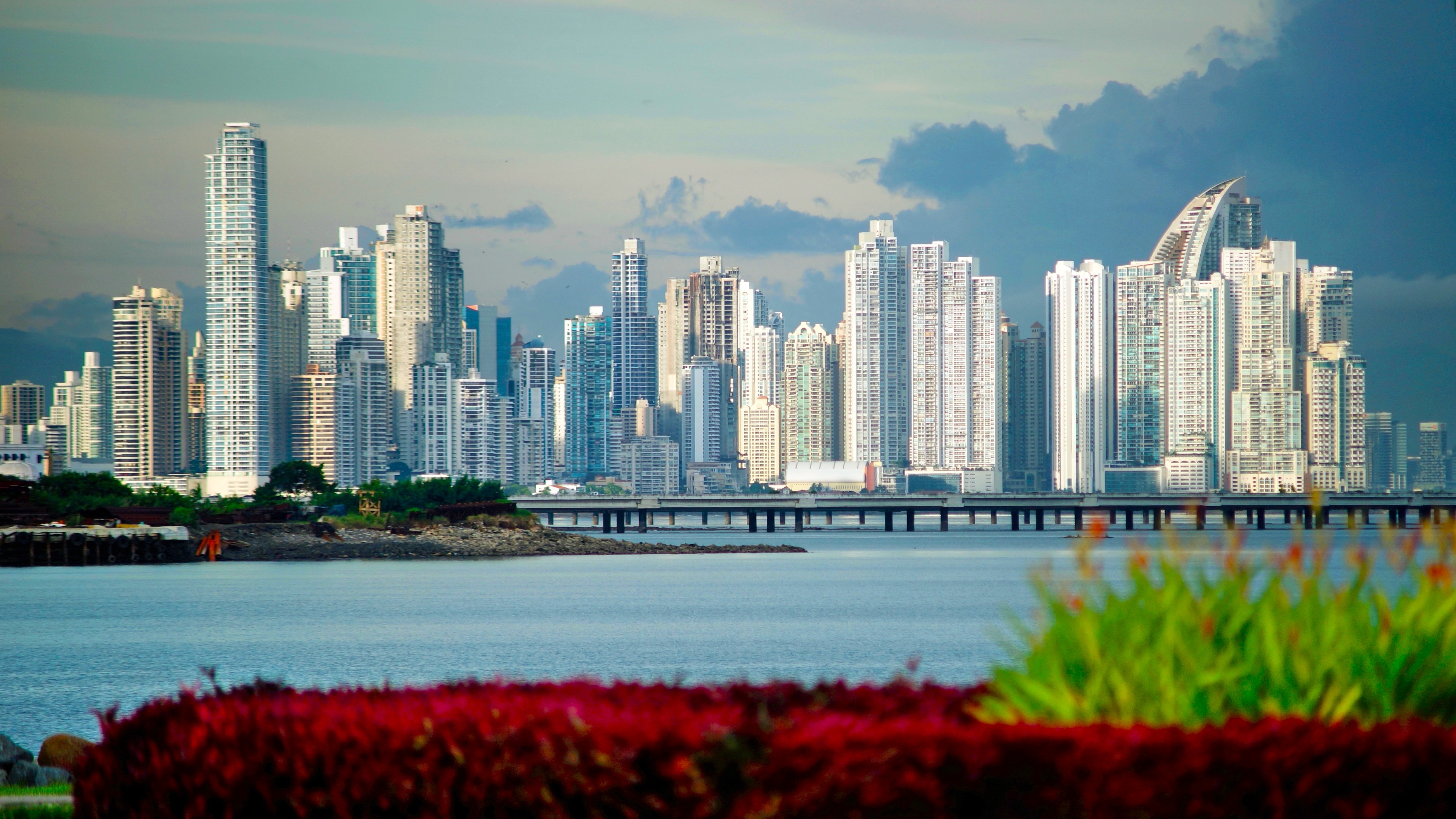
Panama City and Canal
The capital concentrates the country's history and logistics. Casco Viejo lines seven pedestrian blocks with restored facades, where you can dine for 25 to 40 USD in former colonial houses. A 30-minute drive away, the Miraflores Locks allow you to watch container ships pass from a covered platform. To understand the jungle bordering the canal, we often take travelers to Soberanía National Park, accessible in 45 minutes: the Pipeline Road there is a renowned birdwatching site (toucans, sloths, capuchin monkeys). Warm and humid climate year-round, 27 to 31°C.
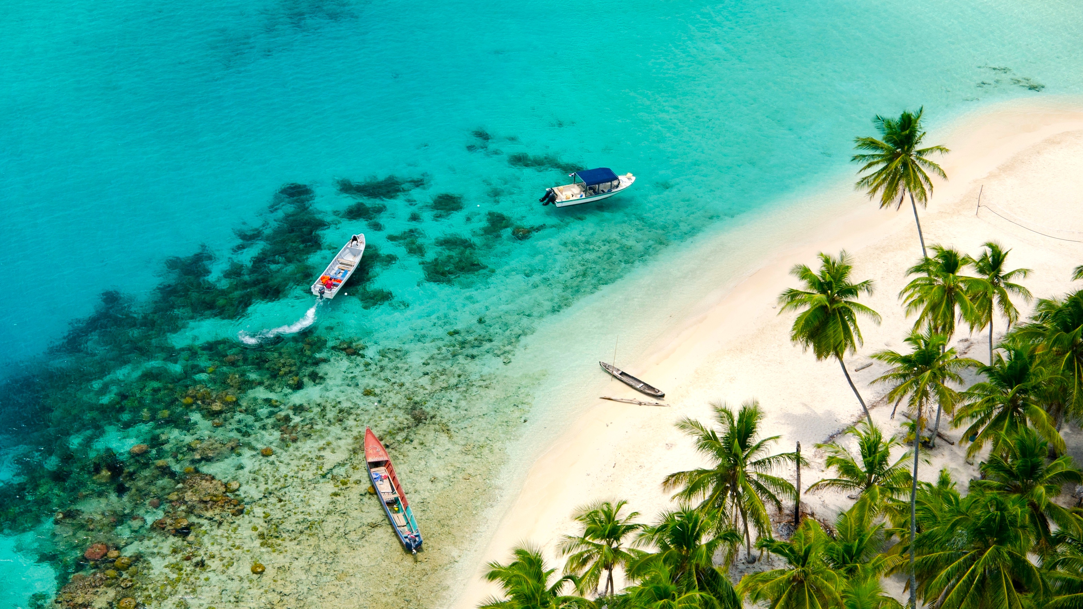
Guna Yala (San Blas)
An autonomous territory of the Guna people since 1925, the archipelago comprises nearly 365 islands, about fifty of which are inhabited. Access is by 4x4 and lancha from Cartí (3.5 hours by road from the capital). Accommodation is in simple cabanas on white sand islets, without permanent electricity. Guna women sell their molas, hand-sewn textile panels that are part of the living heritage listed by UNESCO. Budget 80 to 120 USD per person per night for all-inclusive stays. Sea temperature at 28°C year-round, with brief afternoon showers from May to November.
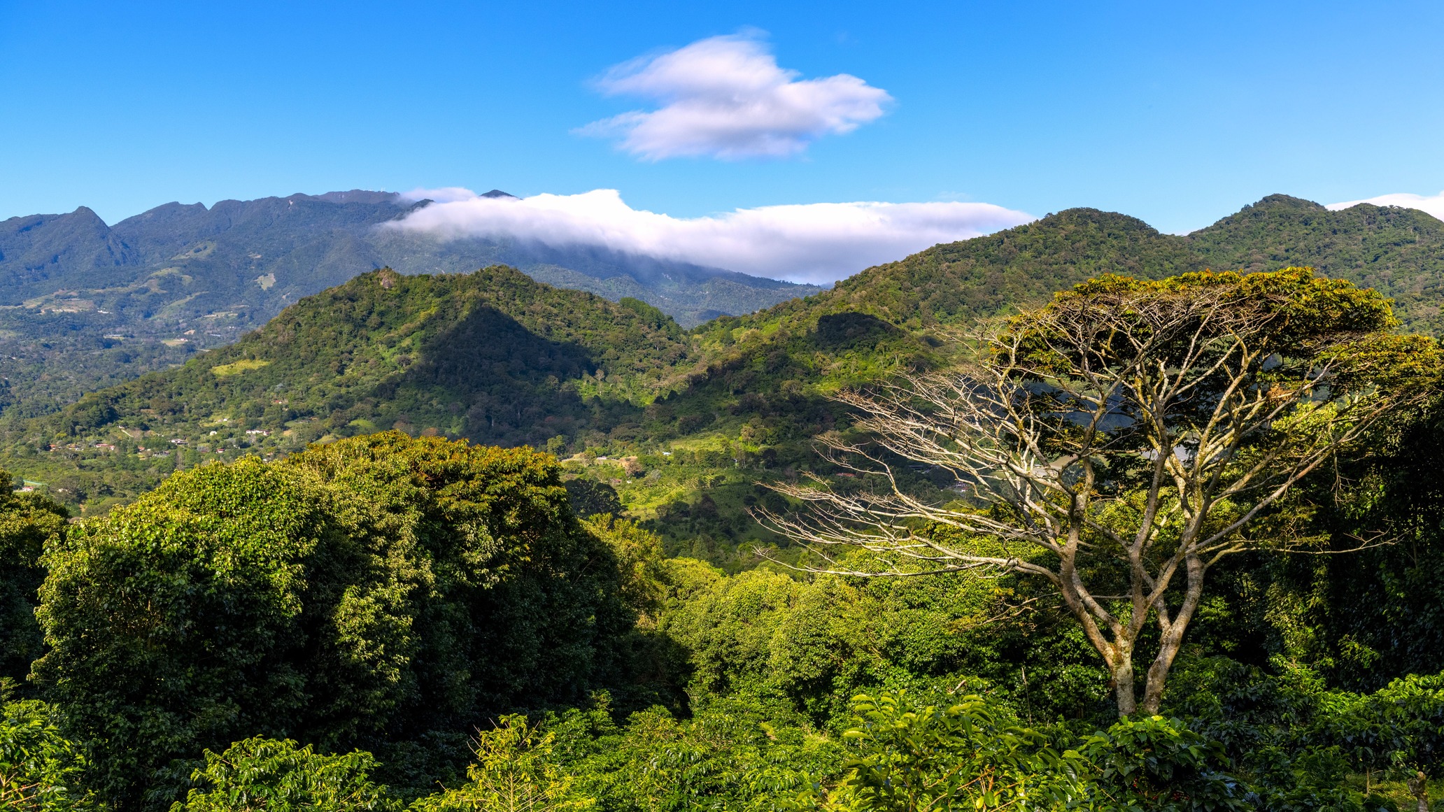
Chiriquí and Boquete
The western highlands range from 1,000 to 3,475 m, with Boquete as a base at 1,200 m altitude. The climate is cool, 15 to 22°C, and nights require a fleece jacket. The Geisha coffee plantations around Finca Lerida produce one of the world's most expensive coffees, and visits cost 30 to 45 USD. The ascent of Volcán Barú (3,475 m, the country's highest peak) is done at night to reach the summit at dawn and spot, weather permitting, both oceans. The quetzal can be observed from January to May on the Los Quetzales trail.
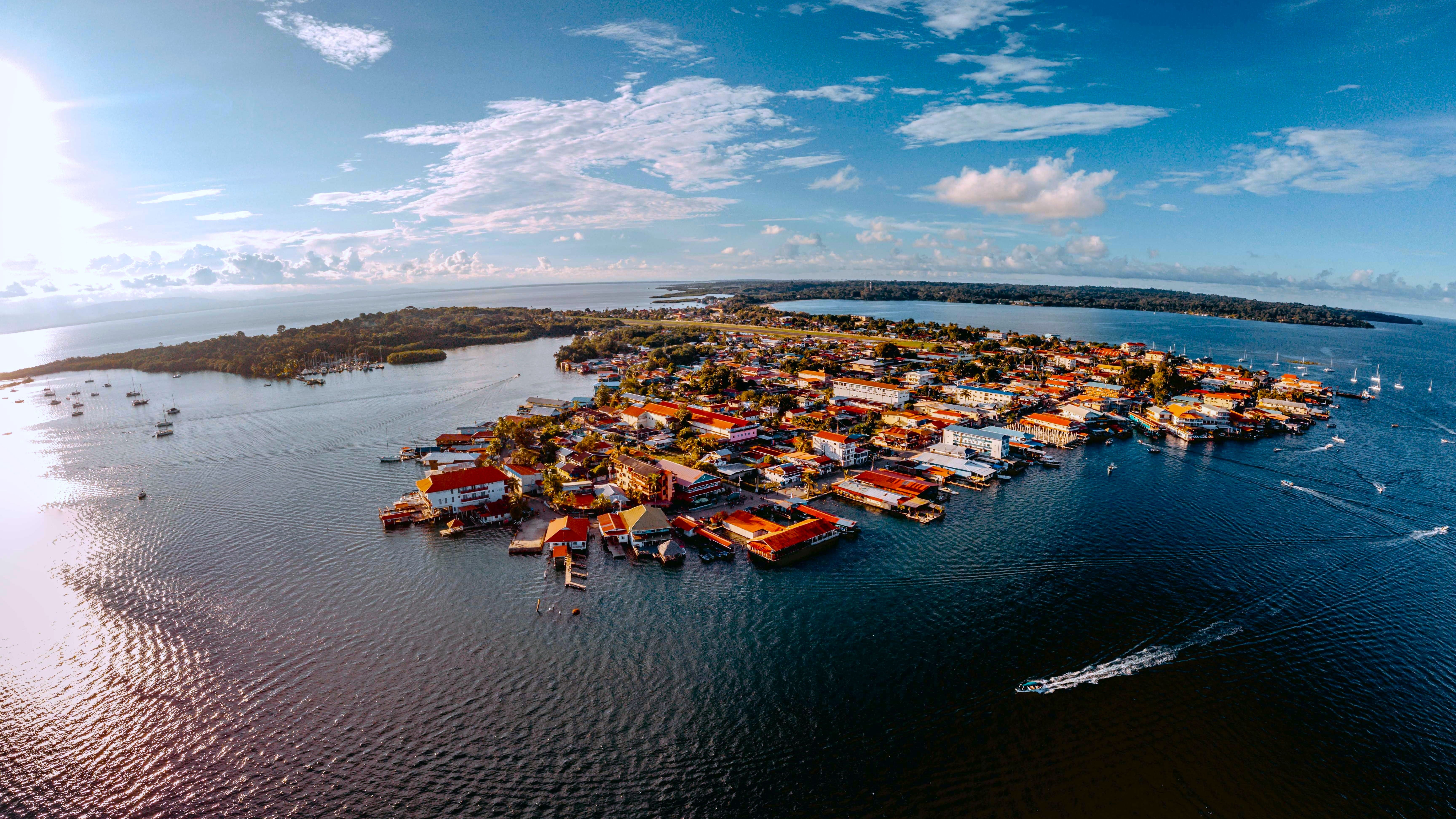
Bocas del Toro
Caribbean archipelago on the Costa Rican border, accessible by domestic flight (1 hour from the capital) or overnight bus. Bocas Town, on Isla Colón, brings together restaurants, surf schools and boat docks. Isla Bastimentos is home to the national marine park, Hospital Point diving site and the Afro-Caribbean community of Old Bank, where Guari-Guari (English Creole) is spoken. Red Frog and Wizard Beach require 15 to 30 minutes' walk from the dock. Driest season: September-October and February-March, opposite to the Pacific coast.
Azuero Peninsula
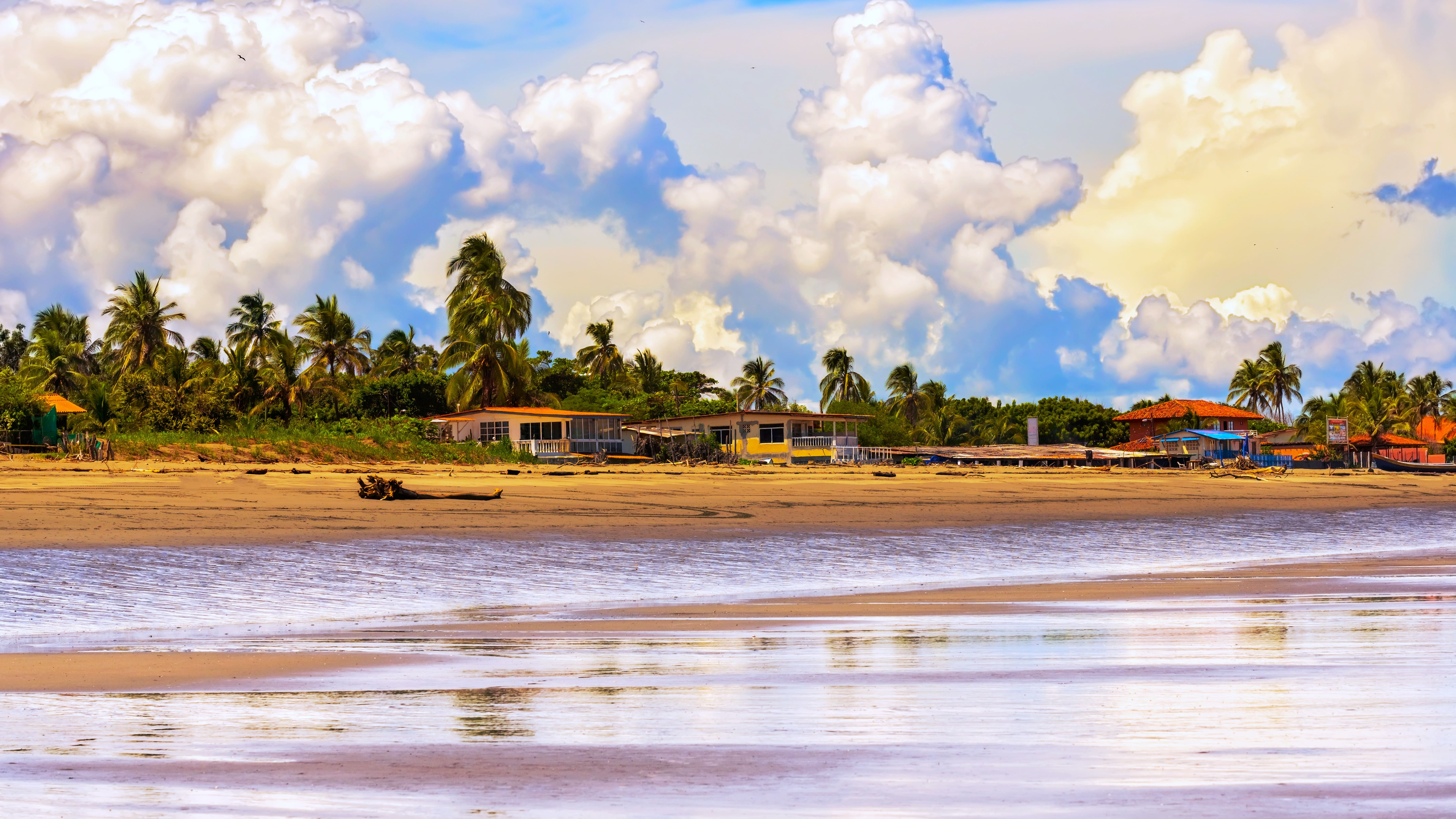
A rural Pacific region, considered the cradle of Panamanian Hispanic traditions. Las Tablas, the provincial capital, hosts the country's most renowned Carnival in February, and the patron saint festival of Santa Librada in June. Pedasí, a fishing village of 3,000 inhabitants, serves as a base for observing leatherback turtles from May to November on Iguana Island. The region is dry from December to April, with savanna landscapes that contrast with the rest of the country. Few mainstream tourist circuits pass through here, making it a worthwhile detour for curious travelers.
Darién
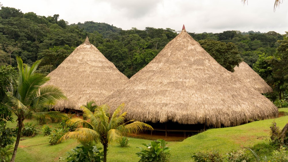
Wild border with Colombia, the Darién is the only break in the Pan-American Highway between Alaska and Patagonia. The national park, UNESCO-listed, is home to jaguars, harpy eagles and Emberá-Wounaan communities who still live by hunting and slash-and-burn agriculture. Access is by canoe from La Palma or Yaviza, on organized tours only (3 to 5 days minimum). We work with two Emberá communities who welcome travelers in traditional cabins. A humid region year-round, best avoided in October-November when rivers overflow.
Explore by theme
Unique experiences tailored to every traveler.
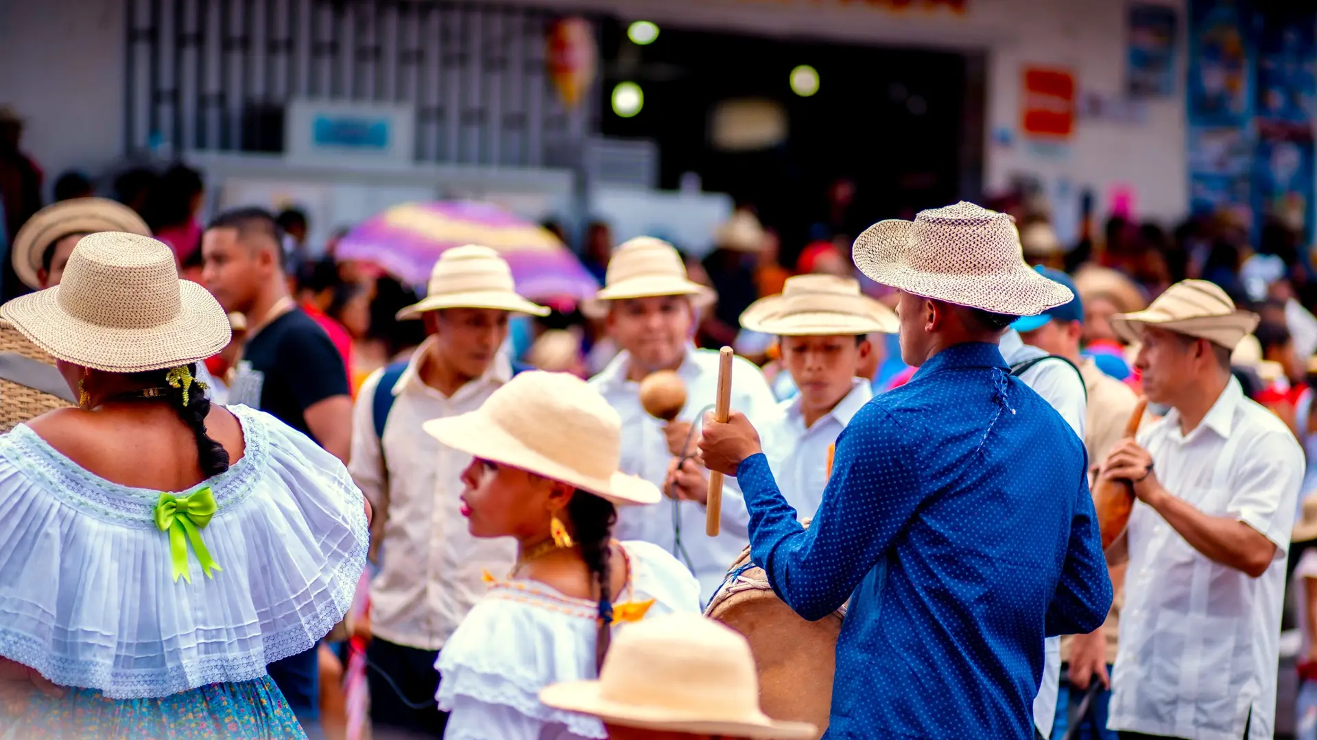
Culture & Heritage
Temples, musées, sites historiques
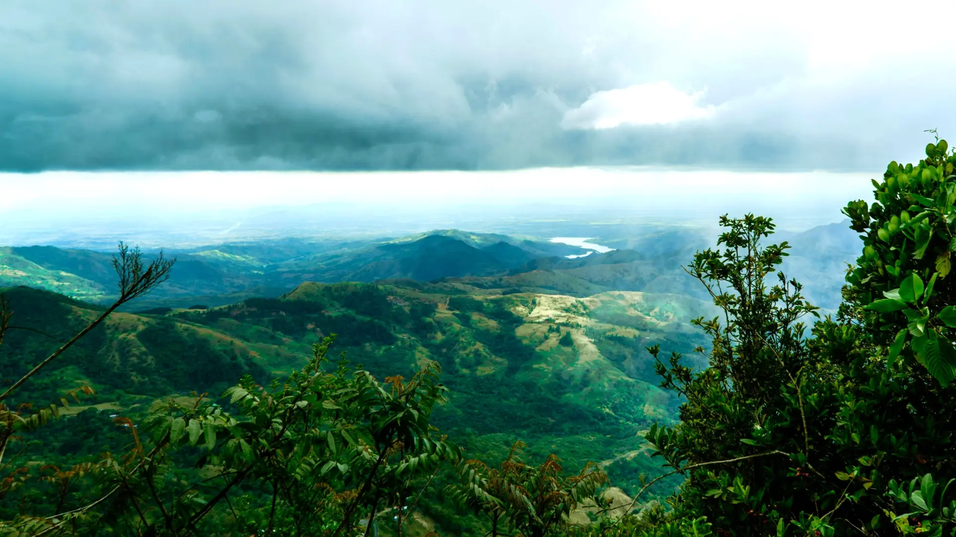
Nature & Landscapes
Parcs nationaux, montagnes, forêts
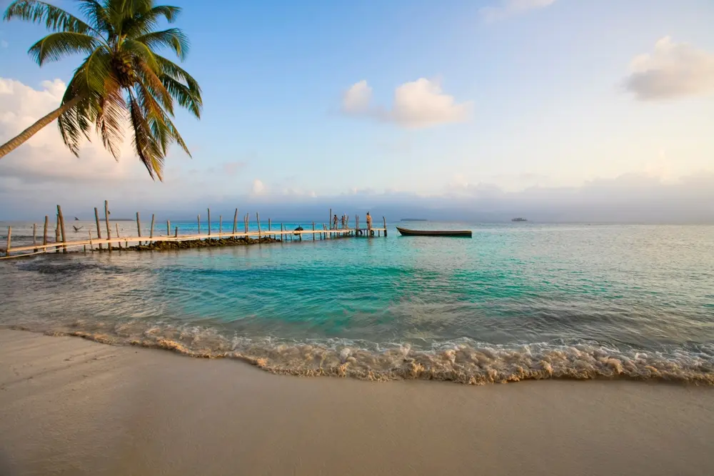
Sea & Beaches
Littoral, îles, sports nautiques
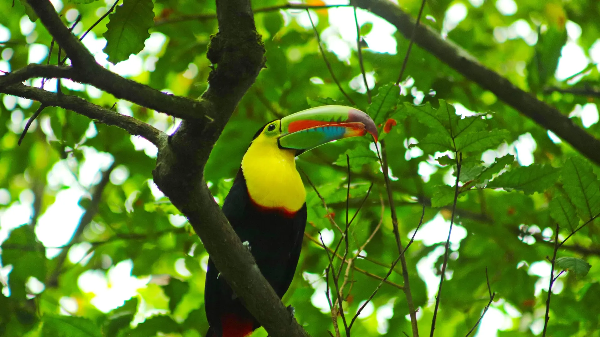
Faune et Biodiversité
Observation animale, sanctuaires, réserves
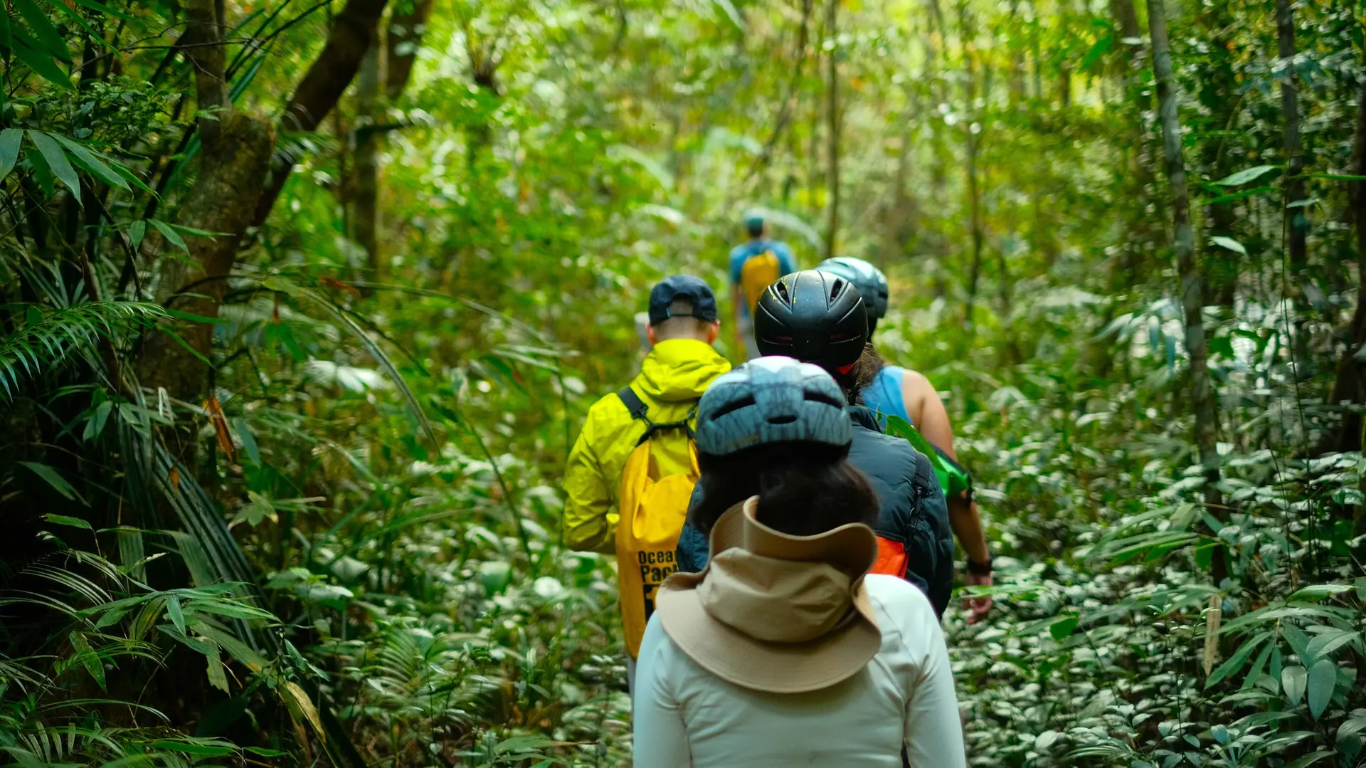
Activities & Adventure
Trek, kayak, escalade, sports outdoor
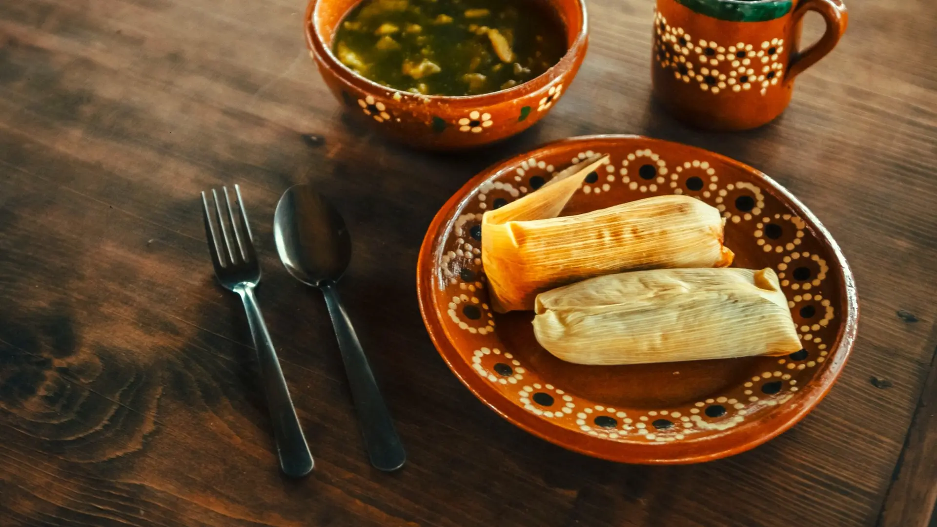
Gastronomy
Cuisine locale, marchés, cours de cuisine
We use cookies to improve your experience and measure our site's audience. You can choose what you accept. Learn more.